Blog · Comparison · updated
Best Hiking App 2026: An Honest Comparison of 8 Apps
Eight apps, the same criteria, and prices checked on the App Store and the official sites. What is really free, what works without a signal, and which one suits the way you hike.
The short answer: AllTrails has the biggest trail catalogue, Gaia GPS is the pick for the backcountry, and Hikez keeps a real journal of every hike with free offline maps (iPhone only). Most apps charge for offline maps: the paid plans that unlock them cost roughly $30 to $60 a year, and only Hikez and Organic Maps include them for free.
Full disclosure: Hikez is our app. We ranked it 2nd, not 1st, and we tell you where the others do better.

Hiking app comparison at a glance
The criteria that matter on the trail. Tap an app to read its profile.
| App | Full version | Offline maps | Topo maps | Off-route alert | GPX import | Trails included | Ad-free | Android | Apple Watch |
|---|---|---|---|---|---|---|---|---|---|
| 1AllTrails | $35.99/yrPlus | Plus | Toposource not stated | Pluswrong-turn alerts | Yesplan not verified | 500,000+ | Ads | Yes | Yes |
| 2Hikez | $22.99/yrPro, optional | FreeOpenStreetMap | OSMno USGS topo | Freeon GPX routes | Free3 in library, unlimited with Pro | Community | Yes | No | No |
| 3Gaia GPS | $59.90/yrPremium | Premium | Gaia TopoNatGeo in Premium | ? | Yesplan not verified | ? | Yesnone declared | Yes | Yes |
| 4Komoot | $29.99one time, World Pack | By region1 region free | ? | Yesplan not verified | YesGPX, TCX, FIT | Yes | Ads | Yes | Yes |
| 5onX Backcountry | $29.99/yrPremium | Premium1 map free | LiDAR TopoUSFS, BLM, NPS data | ? | Premium | 650,000+ mi | Yesnone declared | Yes | No |
| 6OS Maps | £35.99/yrPremium (US app: $49.99) | Premium | OS Leisure607 maps, Premium | ?off-course alerts, plan not verified | ?export confirmed | Yes | Ads | Yes | Yes |
| 7Organic Maps | Free | Free | OSMcontour lines | ? | Yes | NoOSM trails only | Yes | Yes | No |
| 8Outdooractive | €29.99/yrPro | Pro | ProUSGS, OS and more | ?distance warning, plan not verified | Yesplan not verified | Thousands | Ads | Yes | Yes |
- 1AllTrails
- Full version
- $35.99/yrPlus
- Offline maps
- Plus
- Topo maps
- Toposource not stated
- Off-route alert
- Pluswrong-turn alerts
- GPX import
- Yesplan not verified
- Trails included
- 500,000+
- Ad-free
- Ads
- Android
- Yes
- Apple Watch
- Yes
- 2Hikez
- Full version
- $22.99/yrPro, optional
- Offline maps
- FreeOpenStreetMap
- Topo maps
- OSMno USGS topo
- Off-route alert
- Freeon GPX routes
- GPX import
- Free3 in library, unlimited with Pro
- Trails included
- Community
- Ad-free
- Yes
- Android
- No
- Apple Watch
- No
- 3Gaia GPS
- Full version
- $59.90/yrPremium
- Offline maps
- Premium
- Topo maps
- Gaia TopoNatGeo in Premium
- Off-route alert
- ?
- GPX import
- Yesplan not verified
- Trails included
- ?
- Ad-free
- Yesnone declared
- Android
- Yes
- Apple Watch
- Yes
- 4Komoot
- Full version
- $29.99one time, World Pack
- Offline maps
- By region1 region free
- Topo maps
- ?
- Off-route alert
- Yesplan not verified
- GPX import
- YesGPX, TCX, FIT
- Trails included
- Yes
- Ad-free
- Ads
- Android
- Yes
- Apple Watch
- Yes
- 5onX Backcountry
- Full version
- $29.99/yrPremium
- Offline maps
- Premium1 map free
- Topo maps
- LiDAR TopoUSFS, BLM, NPS data
- Off-route alert
- ?
- GPX import
- Premium
- Trails included
- 650,000+ mi
- Ad-free
- Yesnone declared
- Android
- Yes
- Apple Watch
- No
- 6OS Maps
- Full version
- £35.99/yrPremium (US app: $49.99)
- Offline maps
- Premium
- Topo maps
- OS Leisure607 maps, Premium
- Off-route alert
- ?off-course alerts, plan not verified
- GPX import
- ?export confirmed
- Trails included
- Yes
- Ad-free
- Ads
- Android
- Yes
- Apple Watch
- Yes
- 7Organic Maps
- Full version
- Free
- Offline maps
- Free
- Topo maps
- OSMcontour lines
- Off-route alert
- ?
- GPX import
- Yes
- Trails included
- NoOSM trails only
- Ad-free
- Yes
- Android
- Yes
- Apple Watch
- No
- 8Outdooractive
- Full version
- €29.99/yrPro
- Offline maps
- Pro
- Topo maps
- ProUSGS, OS and more
- Off-route alert
- ?distance warning, plan not verified
- GPX import
- Yesplan not verified
- Trails included
- Thousands
- Ad-free
- Ads
- Android
- Yes
- Apple Watch
- Yes
Yes yes or freePrice paidNo not available? not verified (the official source does not say). Checked on October 26, 2026, on the US App Store (the UK one for OS Maps). Prices change: check the store before you subscribe.
What “free” really locks: offline maps, off-route alerts and GPX import
Almost every hiking app lets you browse and record for free. The money starts the moment your signal drops: offline maps, off-route alerts and GPX import are what most apps keep for their paid plan. So the question that really separates these apps is not how pretty they look: it is what they charge for a map you can use with no signal.
What “offline” really means
Two very different things hide behind that word. Some apps download only the route: you are guided, but the map stops if you change your plan. Others download the whole map of an area. Hikez does the second one automatically, in a corridor of about a mile on each side of your routes.
Check it in airplane mode before you leave
Whatever app you pick, switch your phone to airplane mode at home, open your map and pan around. If the map goes blank, it was never really offline. It takes a minute and it is the single best check before a hike.

The 8 best hiking apps in 2026, ranked
Each profile says what the app is for, who it suits, what it does well and where it falls short.
1. AllTrails : The biggest trail catalogue, and the easiest place to start
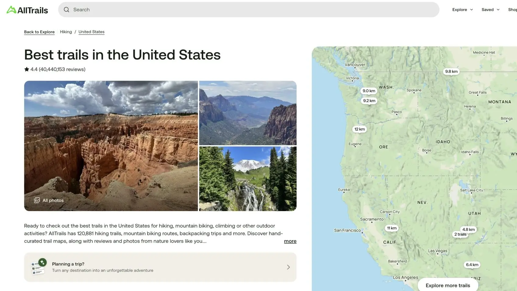
AllTrails is the app most people download first. Its catalogue of more than 500,000 trails is built on reviews, photos and recent condition reports from other hikers, so you can read what a trail is really like before you drive to it. You search, pick a trail and follow it on your phone or your watch. The free version is made for discovering and recording; offline maps and wrong-turn alerts sit behind the paid Plus plan.
Who it is forYou want to find a trail near you, read recent reviews and get going.
4.89/5 on the US App Store (1,042,544 ratings)
What it does well
- More than 500,000 trails, with reviews and photos from other hikers.
- Searching, trail details and recording are free.
- On iPhone, Android, Apple Watch and the web.
Where it falls short
- Offline maps and wrong-turn alerts need Plus ($35.99 a year).
- Ads in the free version, and no topo map source is named.
2. Hikez : A real hiking journal, with free offline maps
Hikez is first a hiking journal. Where most apps stop at a GPS track and a few numbers, every hike here becomes a page of memories: the route, your photos, your notes, the sounds you recorded on the trail, how it felt and the summits you reached. Years later you get the story of the day back, not just its distance. On the trail it records your hike, guides you along a GPX route with an off-route alert, and downloads the map around your routes for offline use, free. The social side (feed, community map, monthly ranking) is optional: without an account, nothing leaves your iPhone.
Who it is forYou want to keep a real record of every hike, and you use an iPhone.
New on the App Store in 2026
What it does well
- A real hiking journal: photos, notes, sounds and how it felt, saved with every hike.
- Offline maps (OpenStreetMap) downloaded around your routes, free.
- GPX import and off-route alert, free.
- 700,000 summits recognised without a signal and added to your journal.
- No ads, optional account, free iCloud backup.
Where it falls short
- iPhone only: no Android, no Apple Watch.
- New in the US: no App Store ratings yet, and no official US topo maps (OpenStreetMap only).
3. Gaia GPS : The pick for backcountry navigation
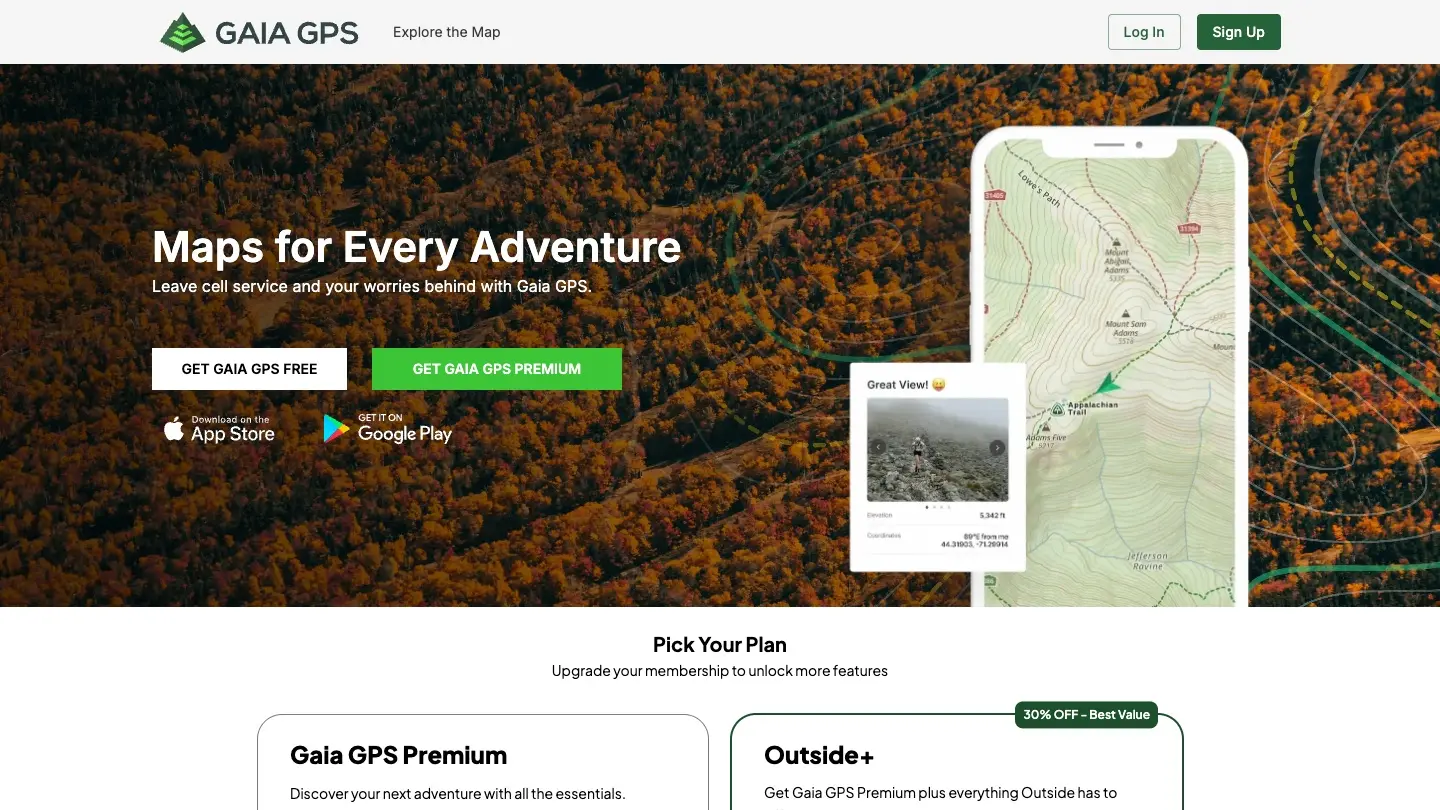
Gaia GPS is built for people who leave the marked trail. Its strength is its map library: Gaia Topo, plus National Geographic Trails Illustrated maps in Premium, which you can download and use with no signal. Recording, following a route and navigating are free; the offline maps are the paid part. It is more a map tool than a trail guide, so expect to bring a route or plan your own.
Who it is forYou hike off-trail or deep in the backcountry and want serious maps.
4.76/5 on the US App Store (32,277 ratings)
What it does well
- Gaia Topo and National Geographic Trails Illustrated maps (Premium).
- Recording, following a route and navigating are free.
- On iPhone, Android and Apple Watch.
Where it falls short
- Offline maps need Premium ($59.90 a year), the highest price in this comparison.
- Pricey if you only walk marked trails and just need a route to follow.
4. Komoot : The best planner, with maps you buy once
Komoot is a route planner first. You pick your sport (hiking, road cycling, mountain biking) and it builds a route suited to the terrain, then guides you with voice navigation. Its model is different from the others: instead of a subscription you can buy the maps of a region, or of the whole world, once. One region is free, so you can try it before you pay.
Who it is forYou plan your own routes, you hike and you ride, and you travel.
4.70/5 on the US App Store (9,573 ratings)
What it does well
- Route planner adapted to each sport, with voice navigation.
- Maps bought once: one region free, the World Pack for $29.99.
- Imports GPX, TCX and FIT files; on iPhone, Android and Apple Watch.
Where it falls short
- Outside your free region, you pay to navigate and record.
- No topo map source is named, and ads are declared in the free version.
5. onX Backcountry : Public-land maps and offline navigation for the US
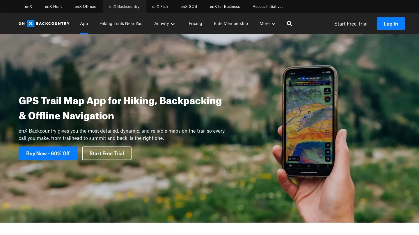
onX Backcountry is a US-focused map app. It layers public-land data from the Forest Service, the BLM and the National Park Service over LiDAR-based topo maps, and counts more than 650,000 miles of trails, 300,000 climbing routes and 4,000 ski routes. The free version lets you download one offline map and record tracks; unlimited offline maps come with Premium.
Who it is forYou hike or backpack in the US and want to see public-land boundaries on your map.
4.76/5 on the US App Store (6,539 ratings)
What it does well
- LiDAR topo maps with Forest Service, BLM and National Park Service data.
- One offline map free; unlimited offline maps with Premium.
- Large catalogue: 650,000+ miles of trails, plus climbing and ski routes.
Where it falls short
- GPX import needs a paid plan.
- No Apple Watch app, and the land data is US only.
6. OS Maps : The official Ordnance Survey maps for Great Britain
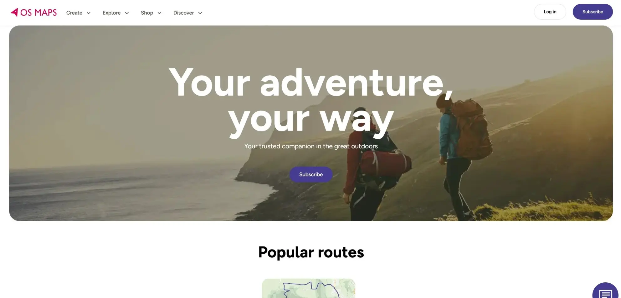
OS Maps comes from Ordnance Survey, Great Britain’s national mapping agency, so it is the app to open when you hike in the UK. The free version gives you OS standard mapping and lets you plot, record and follow a route. Premium adds the 607 OS Leisure maps and offline use, plus topo maps of the US, New Zealand and Australia. If you hike in Britain, it is the benchmark.
Who it is forYou hike in Great Britain and want the official maps.
4.73/5 on the UK App Store (102,255 ratings)
What it does well
- Official Ordnance Survey mapping, with 607 OS Leisure maps in Premium.
- The free version lets you plot, record and follow routes.
- Off-course alerts; on iPhone, Android and Apple Watch.
Where it falls short
- Offline maps need Premium: £35.99 a year in the UK ($49.99 in the US app).
- Ads are declared in the free version.
7. Organic Maps : Free offline maps, no ads
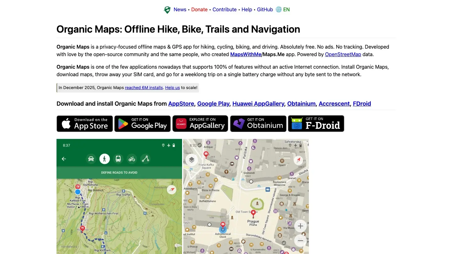
Organic Maps is a free offline maps and GPS app built on OpenStreetMap data. Install it, download the map of your region and you can search, navigate and follow trails without a connection. Its makers say it has no ads and no tracking. It shows contour lines and the trails mapped in OpenStreetMap, and imports GPX files, but it is a map, not a hiking guide: no route catalogue, no community, no journal.
Who it is forYou want a free offline map and nothing else.
4.73/5 on the US App Store (3,679 ratings)
What it does well
- 100 % free, with no ads.
- Offline maps from OpenStreetMap, with contour lines.
- Imports GPX; on iPhone and Android.
Where it falls short
- A map, not a hiking guide: no trail catalogue or community.
- No Apple Watch app, no official topo maps, off-route alerts not verified.
8. Outdooractive : Route planning and topo maps from many countries
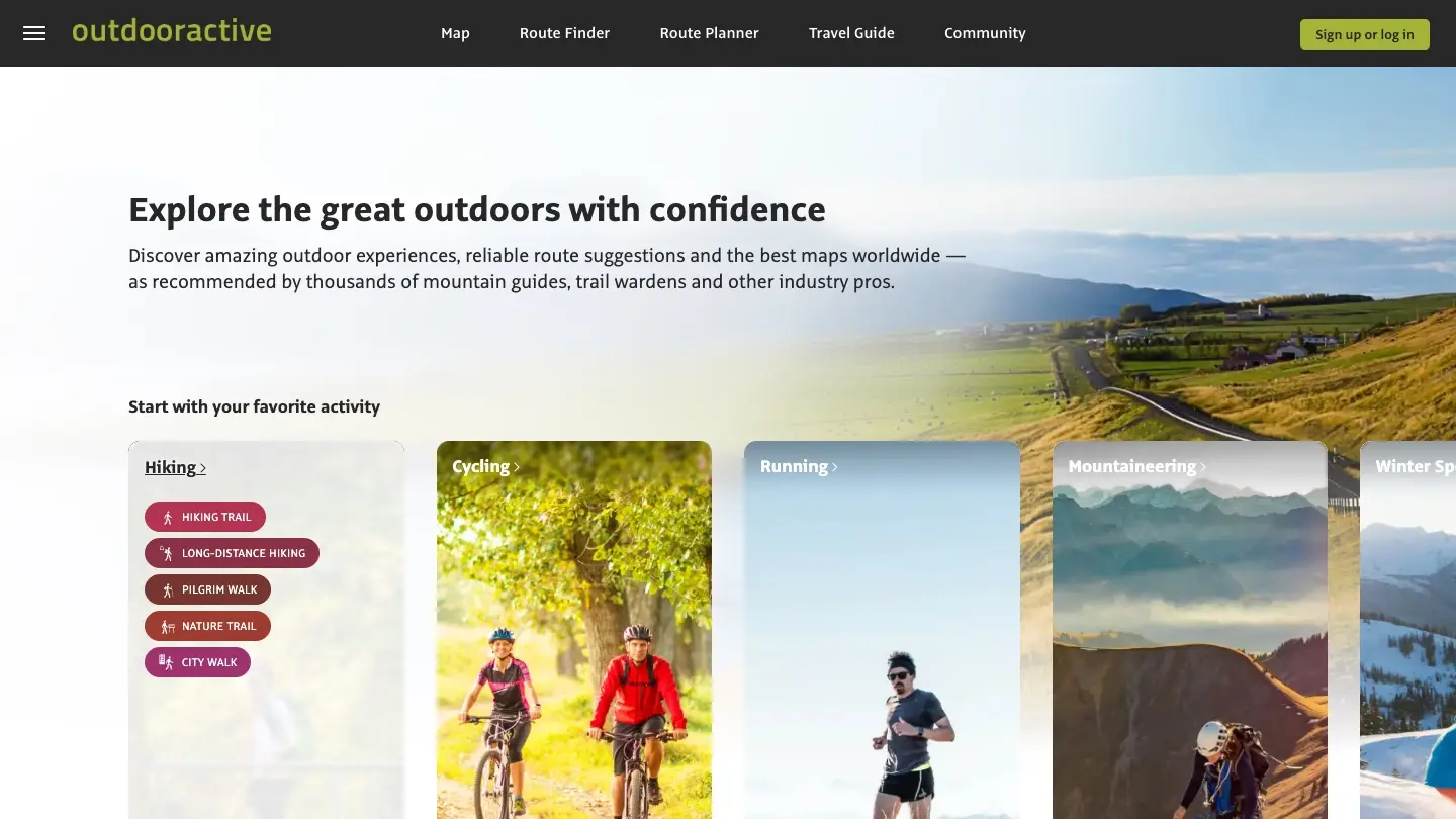
Outdooractive is an outdoor platform with thousands of route suggestions recommended by mountain guides and trail wardens, a route planner and map downloads. The free Basic plan covers planning and browsing; Pro unlocks offline use and the official topographic maps of 25 countries, including USGS maps in the US and Ordnance Survey maps in the UK.
Who it is forYou hike in several countries and want official topo maps in one app.
4.36/5 on the US App Store (452 ratings)
What it does well
- Official topographic maps in 25 countries with Pro, including USGS and Ordnance Survey.
- Route planner, a warning when you drift from the route, and thousands of routes.
- On iPhone, Android and Apple Watch.
Where it falls short
- Offline use and topo maps need Pro (€29.99 a year).
- Ads are declared in the free version.
Which hiking app is right for you?
You hike marked trails and want ideas
Start with a trail catalogue: AllTrails for reviews and photos, or Komoot to plan your own route and buy the maps once.
You go off-trail or deep in the backcountry
You need serious maps: Gaia GPS for its topo library, onX Backcountry for public-land data in the US.
You hike in the UK
OS Maps has the official Ordnance Survey maps. Outdooractive adds OS topo maps with Pro, and Komoot plans routes you can buy once.
You want to keep the memories of every hike
Most apps keep a track and a few numbers. Hikez keeps the story: photos, notes, sounds, how it felt and the summits you reached, on one journal page per hike, to reread years later.
You hike in Europe
Komoot sells maps by region or for the whole world, Outdooractive has topo maps in 25 countries with Pro, and Hikez and Organic Maps give you OpenStreetMap offline for free.
You are on Android, or you want an Apple Watch
Hikez is iPhone only. AllTrails, Gaia GPS and Komoot all run on Android and on Apple Watch.
What a year of hiking really costs with each app
The price on the label does not tell the whole story: what matters is what you already get for free, and what the missing piece costs. Subscription or one-time purchase, here is the bill on October 26, 2026.
Organic Maps
$0
everything is free
Without payingOffline maps, search, navigation, GPX import
Hikez
$22.99/yr
Pro: 3D video flyover, weather, GPX export, unlimited library
Without payingHiking journal, GPS, GPX guidance, offline maps, summits
onX Backcountry
$29.99/yr
Premium: unlimited offline maps, GPX import
Without payingOne offline map, recording, trail maps
Komoot
$29.99
one time, World Pack
Without payingOne region, route planning
Outdooractive
€29.99/yr
Pro: offline use and topo maps
Without payingRoute planning and browsing
AllTrails
$35.99/yr
Plus: offline maps, wrong-turn alerts
Without payingSearch, trail details, recording
OS Maps
£35.99/yr
Premium: offline and OS Leisure maps (UK price)
Without payingOS standard mapping, plot and follow routes
Gaia GPS
$59.90/yr
Premium: offline maps
Without payingRecording, following a route, navigating
What other comparisons skip: battery, ads and your data
How much battery does a hiking app use?
Continuous GPS and a lit screen drain a phone far faster than any single app does. To last a long day: download your maps before you leave, switch to airplane mode where there is no signal (GPS keeps working), keep the screen off while you follow a route you know, and carry a power bank. An app that records with the screen locked and warns you when you drift off the trail saves you from keeping the screen on.
Ads and mandatory accounts: who pushes them
According to their App Store listings, AllTrails, Komoot, OS Maps and Outdooractive show ads in the free version. Gaia GPS, onX Backcountry and Organic Maps declare none (a listing that declares no ads is not proof there are none). Hikez has no ads, and an account is optional: without one nothing leaves your iPhone, and your backup goes to your private iCloud. Also check whether an app wants an account just to record a hike.
Other hiking apps we looked at
- CalTopo
A mapping tool with scanned topo maps and slope shading. Offline use needs the Mobile plan ($20 a year; Pro is $50).
- FarOut
Guides for long trails (200+), usable offline. Unlimited costs $96 a year, or buy single guides such as the Appalachian Trail ($74.99).
- Strava
Great for recording and heatmaps, but offline routes are for subscribers ($79.99 a year). Not a hiking-first app.
Hiking app FAQ
What is the best app to use for hiking?
It depends on how you hike. AllTrails has the biggest catalogue of trails and reviews, Gaia GPS has the best maps for the backcountry, Komoot is the best planner, OS Maps is the benchmark in Great Britain, and Hikez keeps a real journal of every hike, with free offline maps (iPhone only). Use the table at the top to match an app to what you need.
Is AllTrails or Gaia GPS better?
AllTrails if you want to find marked trails and read recent reviews, Gaia GPS if you leave the trail and want topographic maps. Both charge for offline maps: $35.99 a year for AllTrails Plus, $59.90 a year for Gaia GPS Premium.
Which is best, AllTrails or Komoot?
AllTrails for its catalogue of more than 500,000 trails with reviews and photos. Komoot for planning your own route for each sport, and for buying maps once (the World Pack costs $29.99) instead of subscribing.
What is the best free hiking app with offline maps?
Organic Maps (free, no ads, OpenStreetMap, iPhone and Android) and Hikez (free offline maps downloaded around your routes, plus a hiking journal, iPhone only) are the two that give you offline maps without paying. Most of the others, including AllTrails, Gaia GPS, Komoot and OS Maps, ask for a purchase or a subscription. onX Backcountry lets you download one offline map for free.
What is the best hiking app for iPhone?
Every app in this comparison has an iPhone version. Hikez is iPhone only and built for it: it records your hike with the screen off, connects to Apple Health and backs up to your private iCloud. AllTrails, Gaia GPS, Komoot, OS Maps and Outdooractive also have an Apple Watch app; Hikez and onX Backcountry do not.
What is the best hiking app for the UK?
OS Maps, for the official Ordnance Survey maps (Premium is £35.99 a year on the UK App Store and adds offline use and the OS Leisure maps). Outdooractive adds OS topo maps with Pro and Komoot plans your routes. For a free offline map, Organic Maps and Hikez (OpenStreetMap) also work in the UK.
Do I need a paid subscription to hike with an app?
No. Recording a hike and following a route are free in nearly every app here. What gets paid is offline maps, off-route alerts and sometimes GPX import. Check those three before you choose.
How we made this comparison
Features and prices checked on October 26, 2026 on each app’s US App Store listing (the UK one for OS Maps), on Google Play and on the official sites (pricing and help pages). When an official source does not say, we write “not verified” instead of guessing. App Store ratings were taken the same day. We have not field-tested these apps for this article. Found a mistake, or a price that has changed? Write to us: support@hikez.app.
Try Hikez, it is free