Go. Return. Remember.

Free hiking app with GPS.

Hikez is the free hiking app for iPhone: GPS tracking, offline maps, 700,000 recognised summits and a community of walkers. No ads.

700,000

summits recognised

Even without signal, anywhere in the world

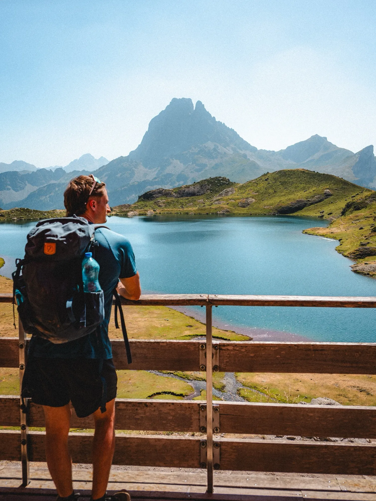
A hiker with a backpack facing the Pic du Midi d’Ossau and its lake

€0

for the essentials

GPS, offline maps, iCloud, community

3D flyover

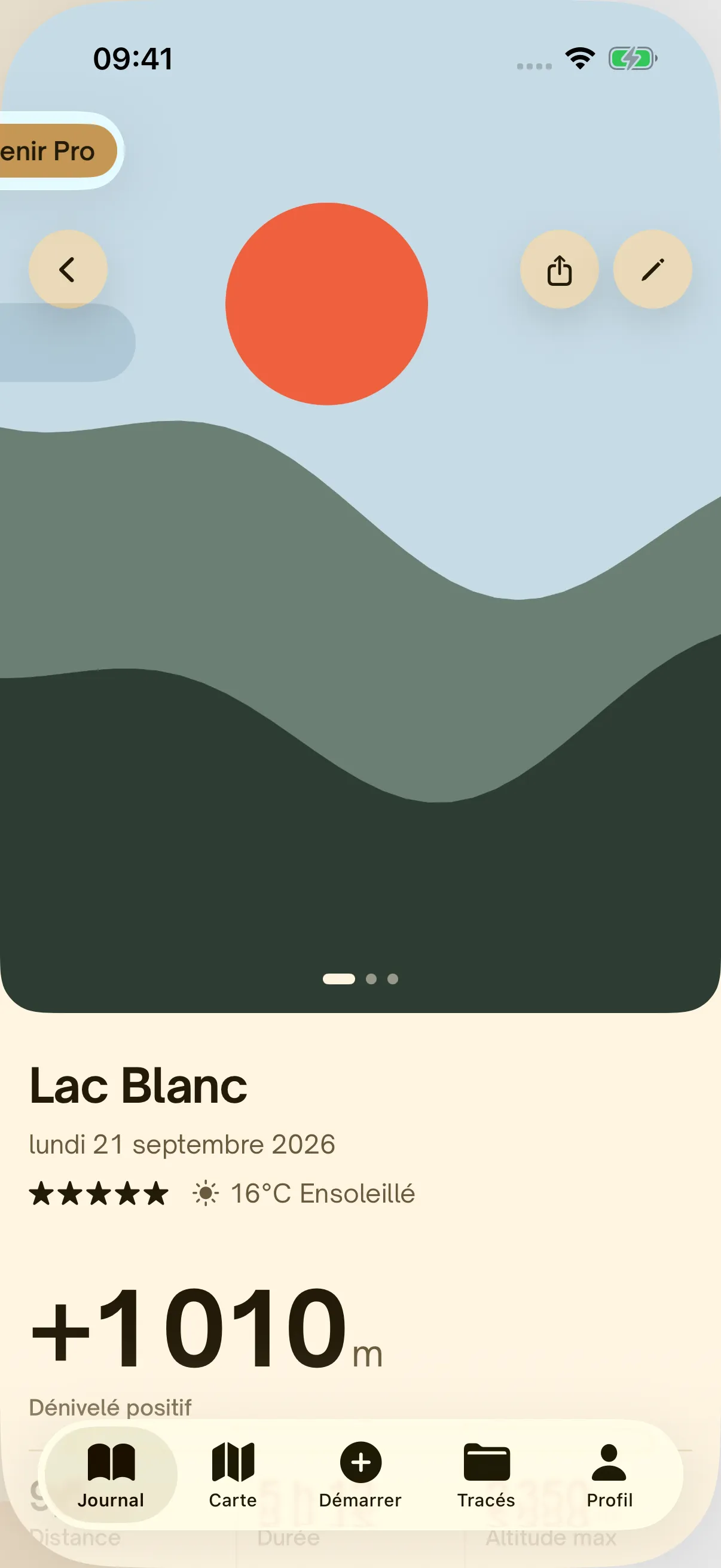
Hikez isn't a dashboard. It's a journal: your track, your numbers, the weather, your photos, and how it felt up there.

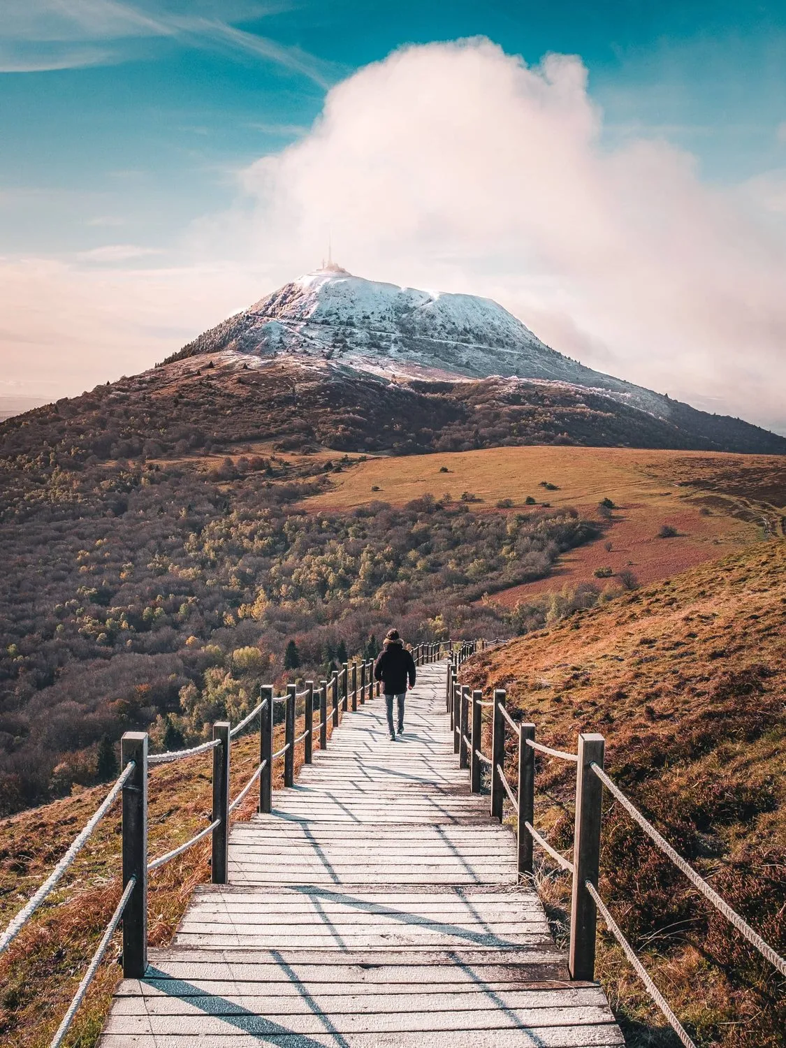
A boardwalk trail climbing towards a snowy summit

We don't compare you with anyone faster. We keep every hike, make it beautiful, and let you share it if you feel like it. Without an account, nothing leaves your iPhone.

What Hikez does

Features

A GPS hiking app that works offline, made to share.

GPS tracking01

Record every step.

Live GPS, even with the screen off.

Distance, elevation gain, duration, altitude and speed, in large type while you walk. Recording carries on with the phone locked, and a backup copy protects your hike until you save it.

Free, no limits
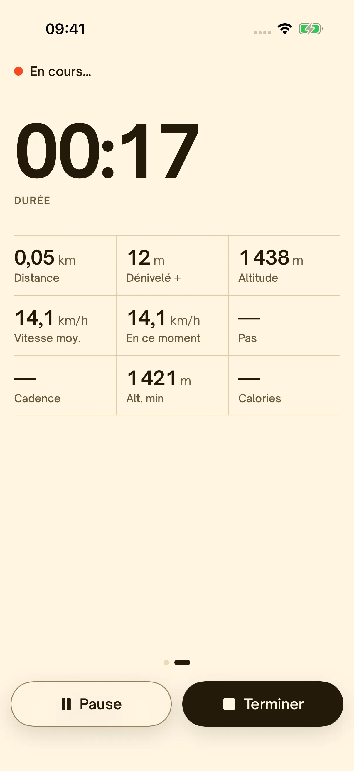
Live GPS recording: duration, distance, elevation gain and altitude
GPX routes02

Stay on the right trail.

Import a GPX, let it guide you.

Open a GPX file from Files, AirDrop or your favourite route site. Hikez shows the distance, elevation gain and estimated time, then warns you if you drift off the route.

Import my routes
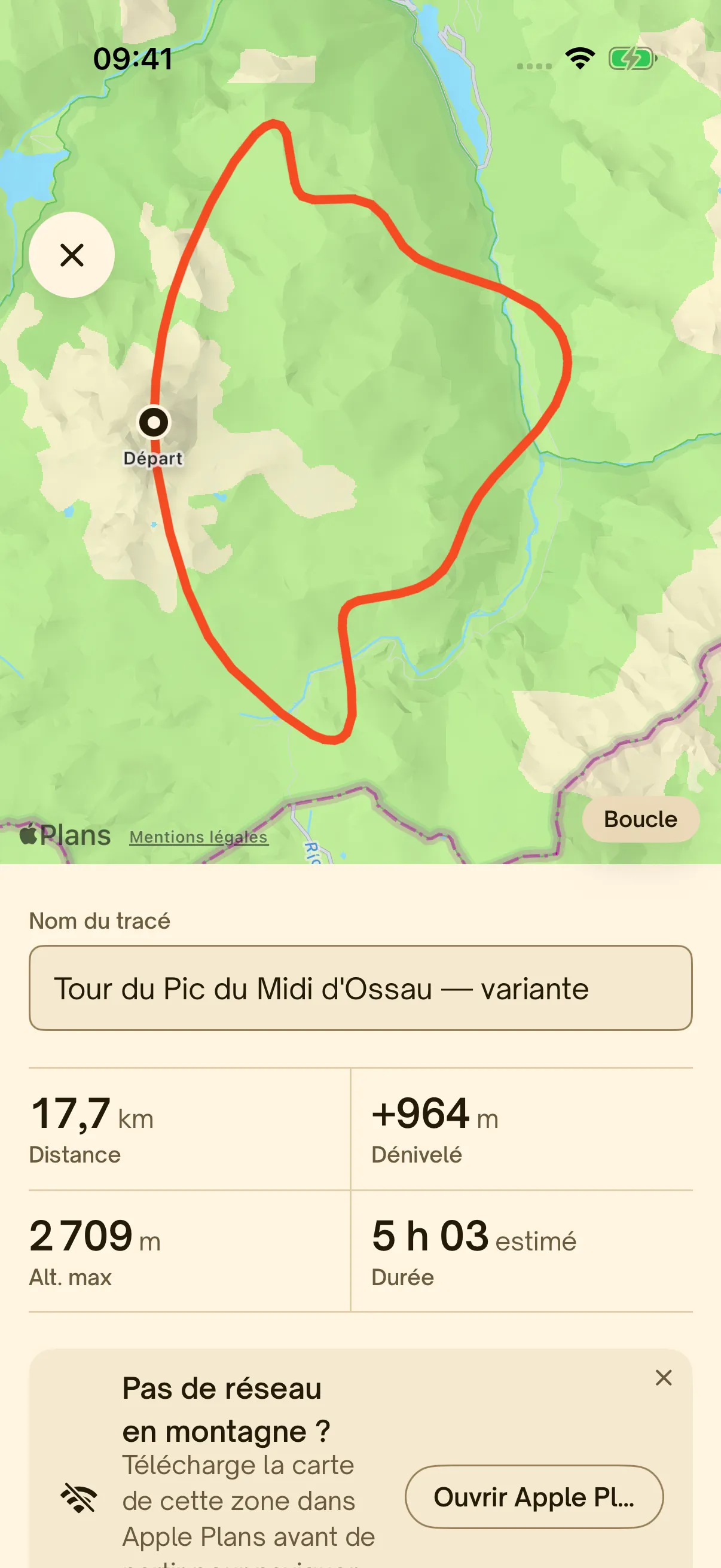
Following a GPX route with distance, elevation gain and estimated time
Offline maps03

Your map, even without signal.

IGN in France, OpenStreetMap elsewhere.

Maps download on their own around your routes, 1.5 km on each side of the track. IGN maps and aerial photos in France, OpenStreetMap everywhere else.

How it works
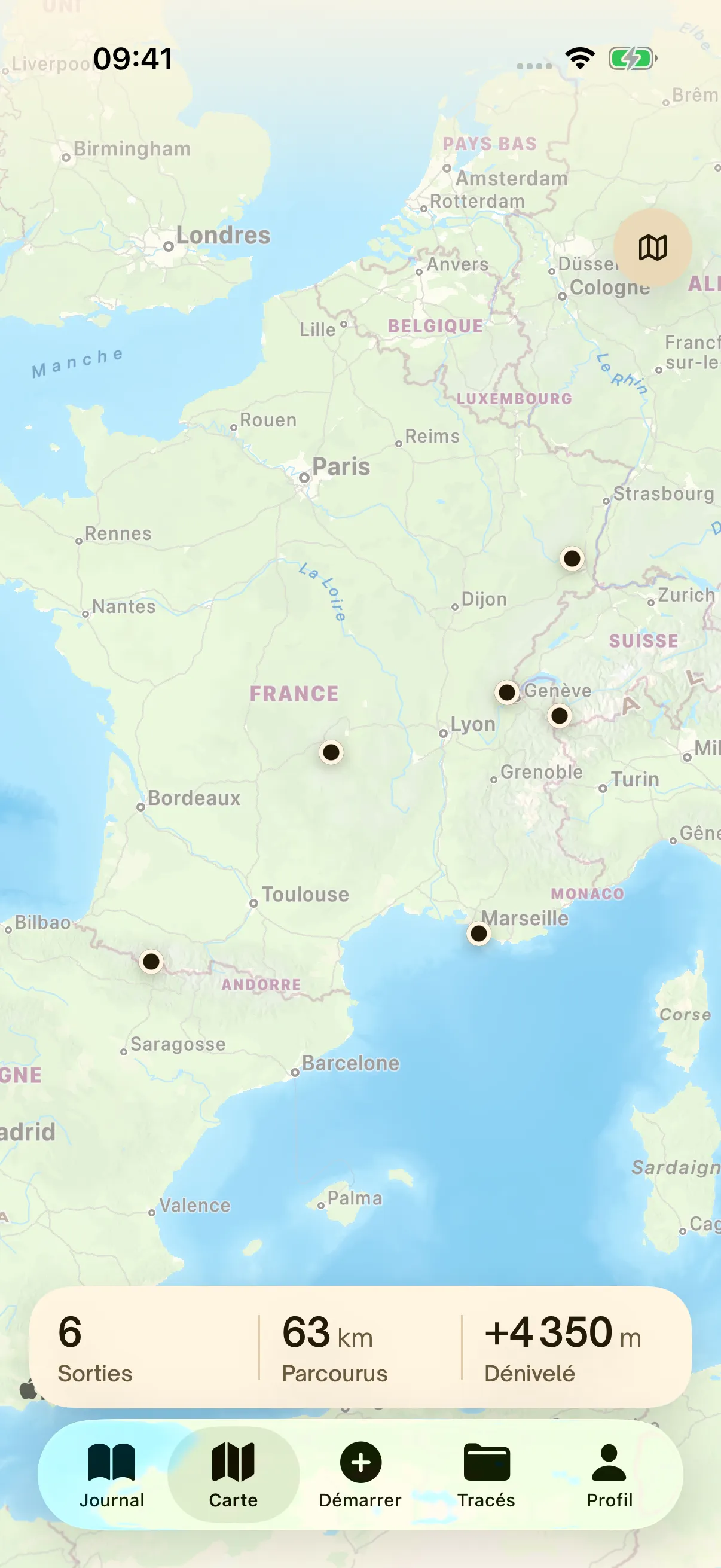
The Hikez map with the starting points of hikes
Summits04

Every summit counts.

700,000 summits in your pocket.

Hikez carries every named summit in OpenStreetMap. Come within 200 m of a summit, at the right altitude, and it joins your summit log. No connection needed.

A few summits
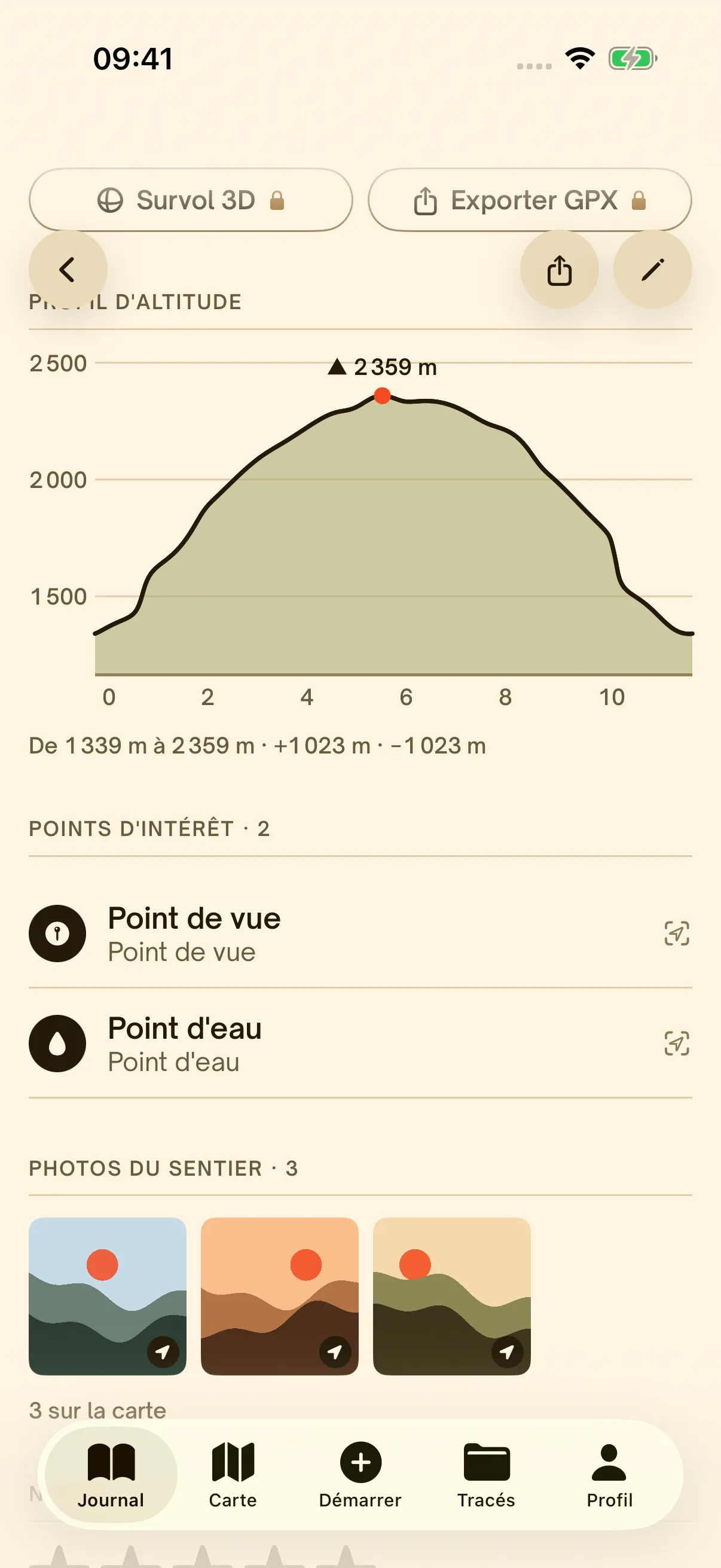
The elevation profile of a hike with the summit reached
3D flyover · Pro05

Relive it in 3D.

A cinematic flyover of every hike.

Hikez flies over your route across the terrain, from the start to the summit, with your numbers rolling by. Save it as a video and share it.

Discover Hikez Pro
A fir forest lost in the mist

No signal?
Your map is already there.

Hikez downloads the maps around your routes before you leave. GPS and all 700,000 summits work offline.

Community

Hike with your friends.

Create your account in two steps, follow your friends, share your hikes and climb the monthly leaderboard. The social side is optional: without an account, Hikez works just as before.

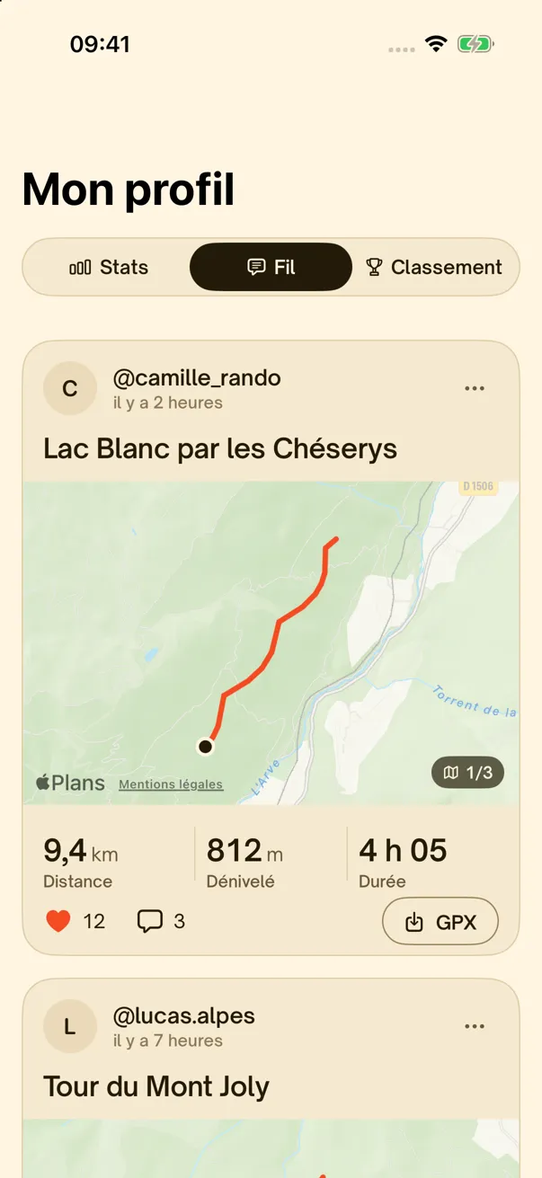
The Hikez community feed: hikes from the people you follow
@lucas.alpes liked your hike
@ines_sommets followed you
@theo_trek “What a ridge, saving it!”
You’re now 8th this month
Route added to your library
Your friends on the trail

An account in two steps

Sign in with Apple, then pick a username. No email, no password. Add a photo whenever you like.

Sign in with AppleUsername@camille_randoAvailable

Follow your friends

Find them by username and follow their hikes. With a private account, every follower needs your approval.

  • L@lucas.alpesFollowFollowing
  • I@ines_sommetsFollowFollowing
  • M@marie.gr20FollowFollowing

A news feed

Hikes from the people you follow: the track, a photo, distance, elevation gain and time. Like, comment, and grab the GPX in one tap.

L@lucas.alpes
Hike finished

9.4 km · +812 m · 4 h 05

123GPX

The monthly leaderboard

Worldwide or among friends, by elevation gain, distance or number of hikes. Only hikes recorded live count, and our servers recalculate every figure.

Leaderboard

October 2026

WorldFollowing

Your rank

8th

3,120 m

300 m behind @lea.balade

  1. 1C@camille_rando6,840 m
  2. 2L@lucas.alpes5,920 m
  3. 3I@ines_sommets5,410 m
  4. 4T@theo_trek4,980 m
  5. 5M@marie.gr204,410 m

The community map

Hiking ideas everywhere: routes shared by hikers, anonymous, with their rating, trail photos and elevation profile. Filter by difficulty, distance, gain or shape, then start guidance.

DifficultyDistanceGainLoop
4127321

Tour du Pic du Midi d’Ossau

17.7 km · +964 m · Loop · Moderate

★★★★★ · Shared by 12 hikers

StartSave

You choose what you share

For each hike: post it to your feed, share the route on the map, or keep it all to yourself. Every post can be reported and anyone blocked.

Post to my feedShare the route on the map

Stats

Your season, in numbers.

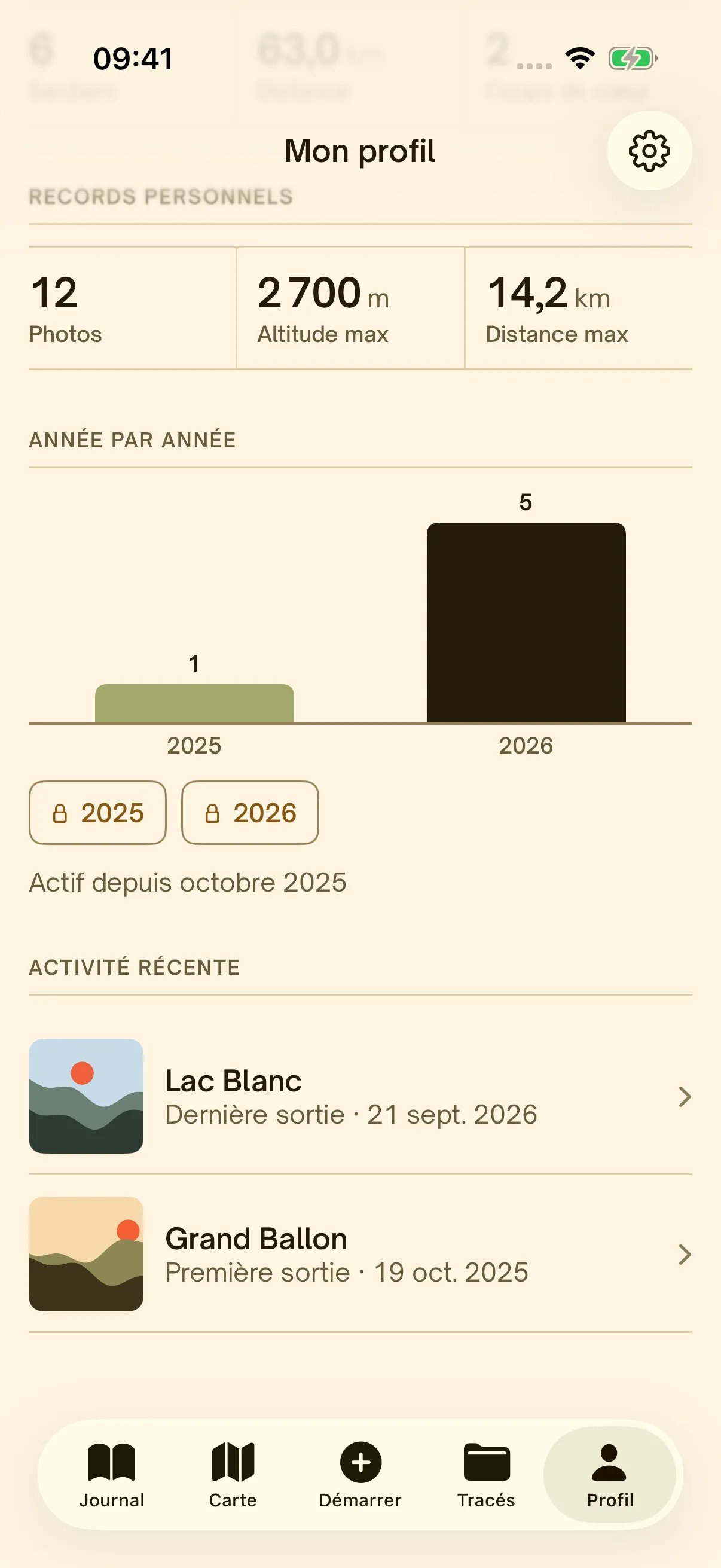
Distance, elevation gain, hikes, time outdoors: Hikez adds it all up, week after week, and keeps your records.

  • Week, month or all time

    Pick the period and every figure follows.

  • Personal records

    Your highest altitude, your longest hike, your photos.

  • Your summit log+ Pro

    Every summit you reach, with its altitude. The 3 highest free, all of them with Pro.

  • Year by yearPro

    Compare your seasons, or pick any period.

  • Your year in reviewPro

    A story of your year in the mountains, to share.

  • With the Health app

    Every hike becomes a hiking workout.

63

km

4,350

m gain

6

hikes

Elevation gain by month

Hiking stats: records, year by year and recent activity

GPX library

All your routes, in one place.

Import your GPX files, grab routes from the community and your friends, and head out with guidance and offline maps.

  • Import your GPX

    From Files, AirDrop or your favourite route site, one or several at once.

  • Grab other people’s routes

    In one tap, from the community map or your friends’ feed.

  • Sort and find

    Search, tags and sorting, and a badge when your route is on the map.

  • Head out guided

    Distance, elevation gain and estimated time, off-trail alerts, maps downloaded on their own.

3 routes free. Unlimited library and GPX export with Hikez Pro.

My library

  • Tour du Pic du Midi d’Ossau

    17.7 km · +964 m

    PyreneesOn the map

    Start
  • Lac Blanc par les Chéserys

    9.8 km · +1,010 m

    Alps

    Start
  • Ponta de São Lourenço

    8.2 km · +410 m

    MadeiraOn the map

    Start
  • Sommet de Finiels, mont Lozère

    12.4 km · +620 m

    Lozère

    Start
Following a GPX route with distance, elevation gain and estimated time

How it works

One hike, three moments.

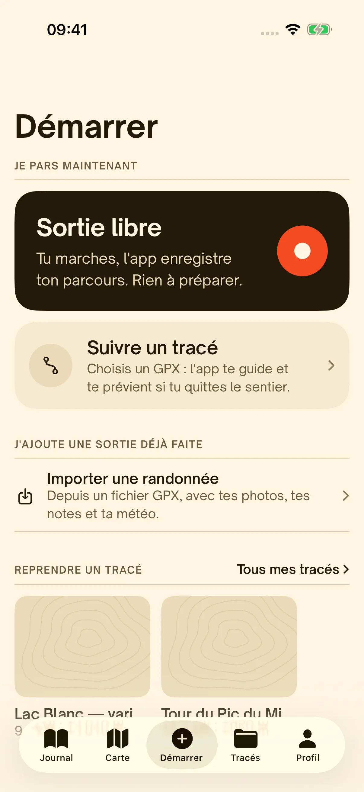
  1. The Start screen: free hike or follow a GPX route

    01

    Go.

    Tap Free hike and Hikez starts recording. Or pick a GPX route and let it guide you. Nothing to set up.

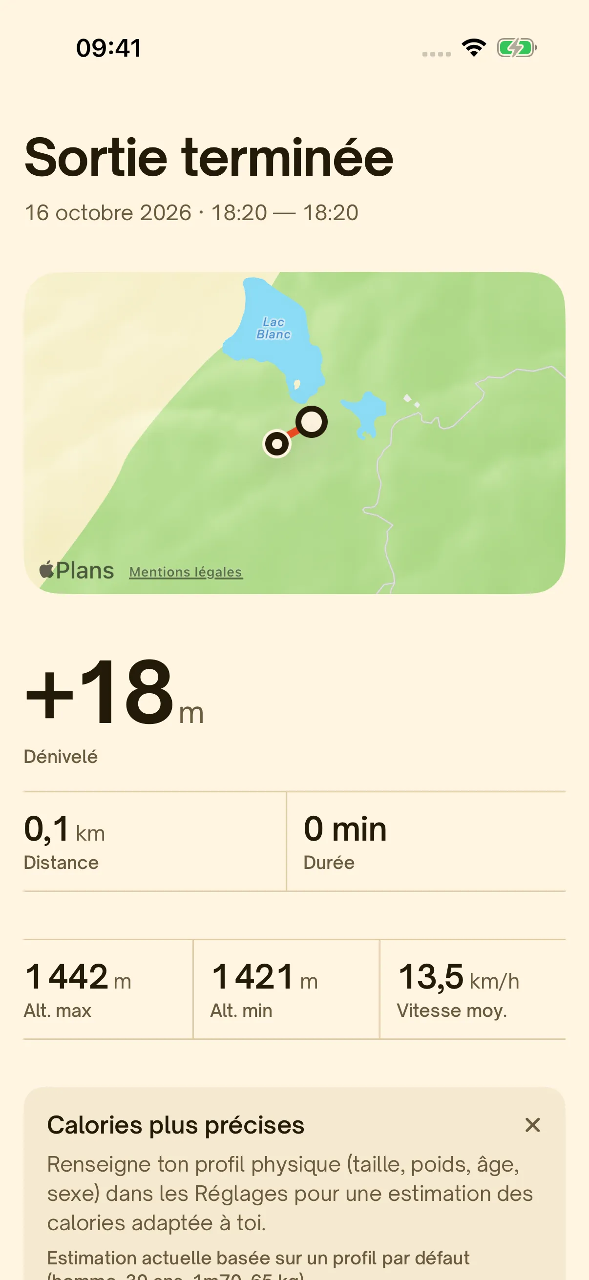
  2. The summary of a finished hike, with the map and elevation gain

    02

    Return.

    Distance, elevation gain, duration, highest point: your hike is summed up the moment you arrive, map included, and saved to the Health app.

  3. A hike page: photo, rating, weather and elevation gain

    03

    Remember.

    Add photos, notes, sounds and how it felt. Your hike becomes a page in your journal, to keep or to share.

Hikes that tell a story.

A map, a track, a few numbers and what you thought of it. Every hike becomes a page in your journal, to keep to yourself or to share.

Wherever you walk.

From the Pyrenees to Madeira, from Brittany to the Dolomites: your map, your summits and your journal come with you.

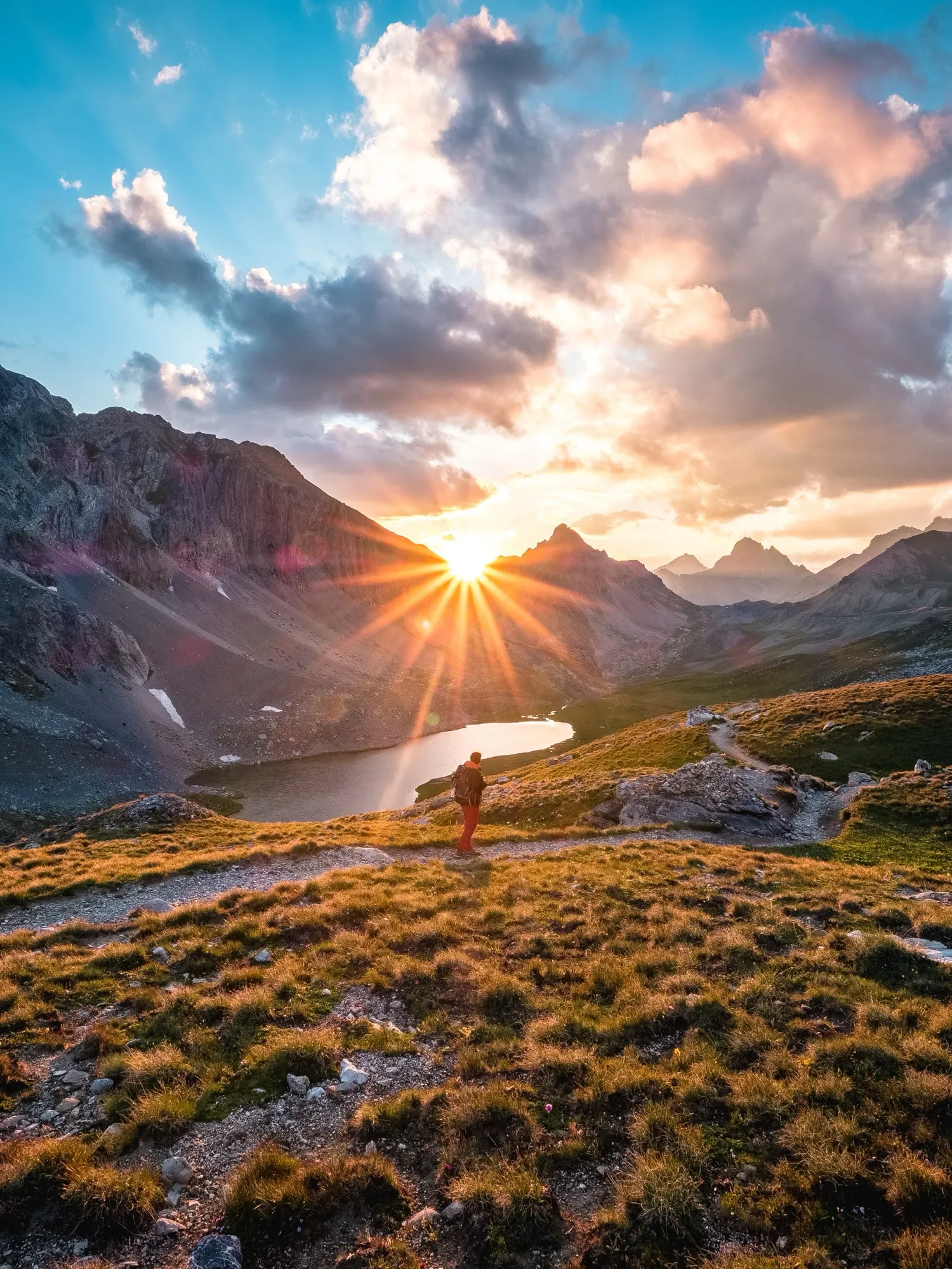
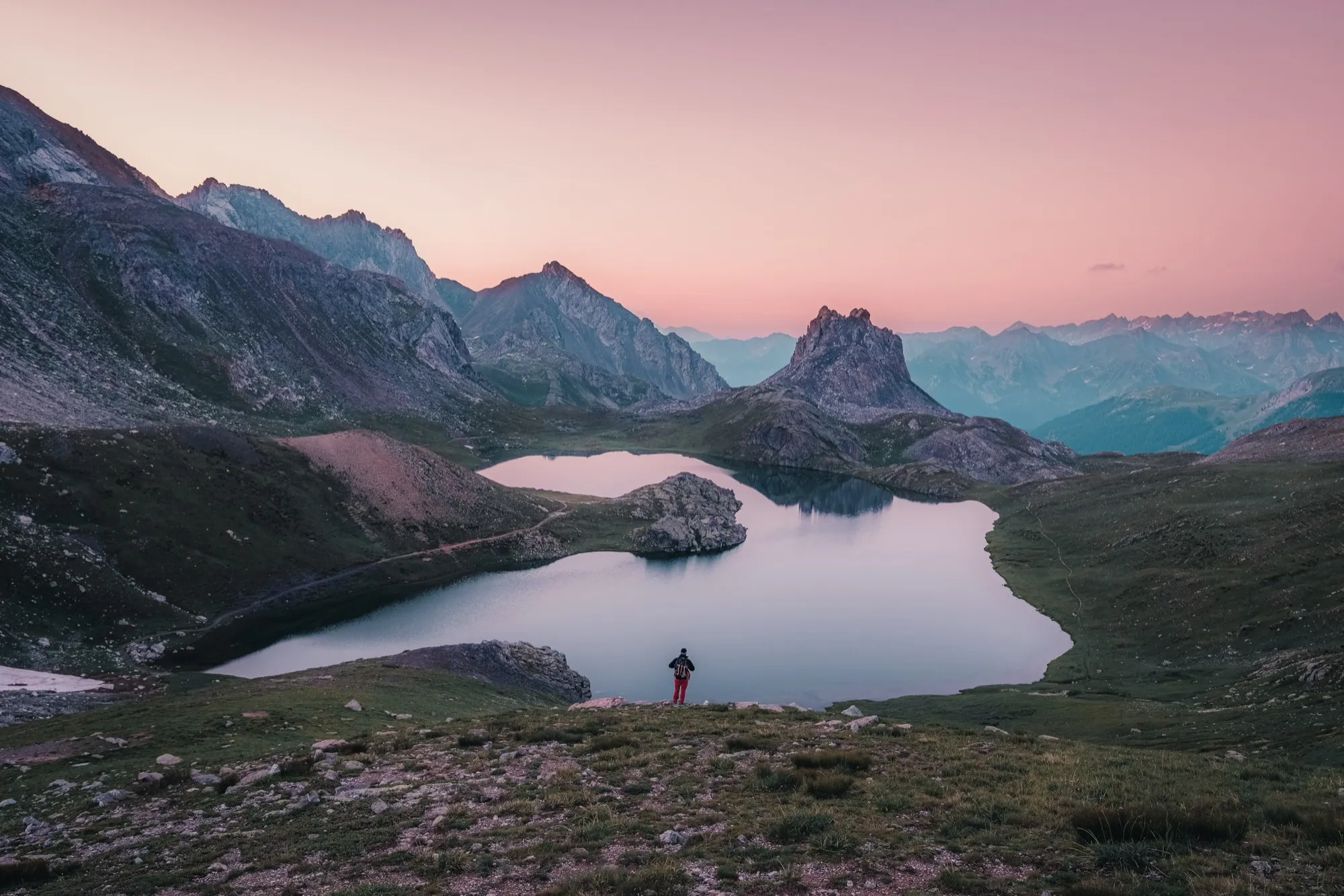
  • A hiker above a mountain lake, facing the setting sunAlps
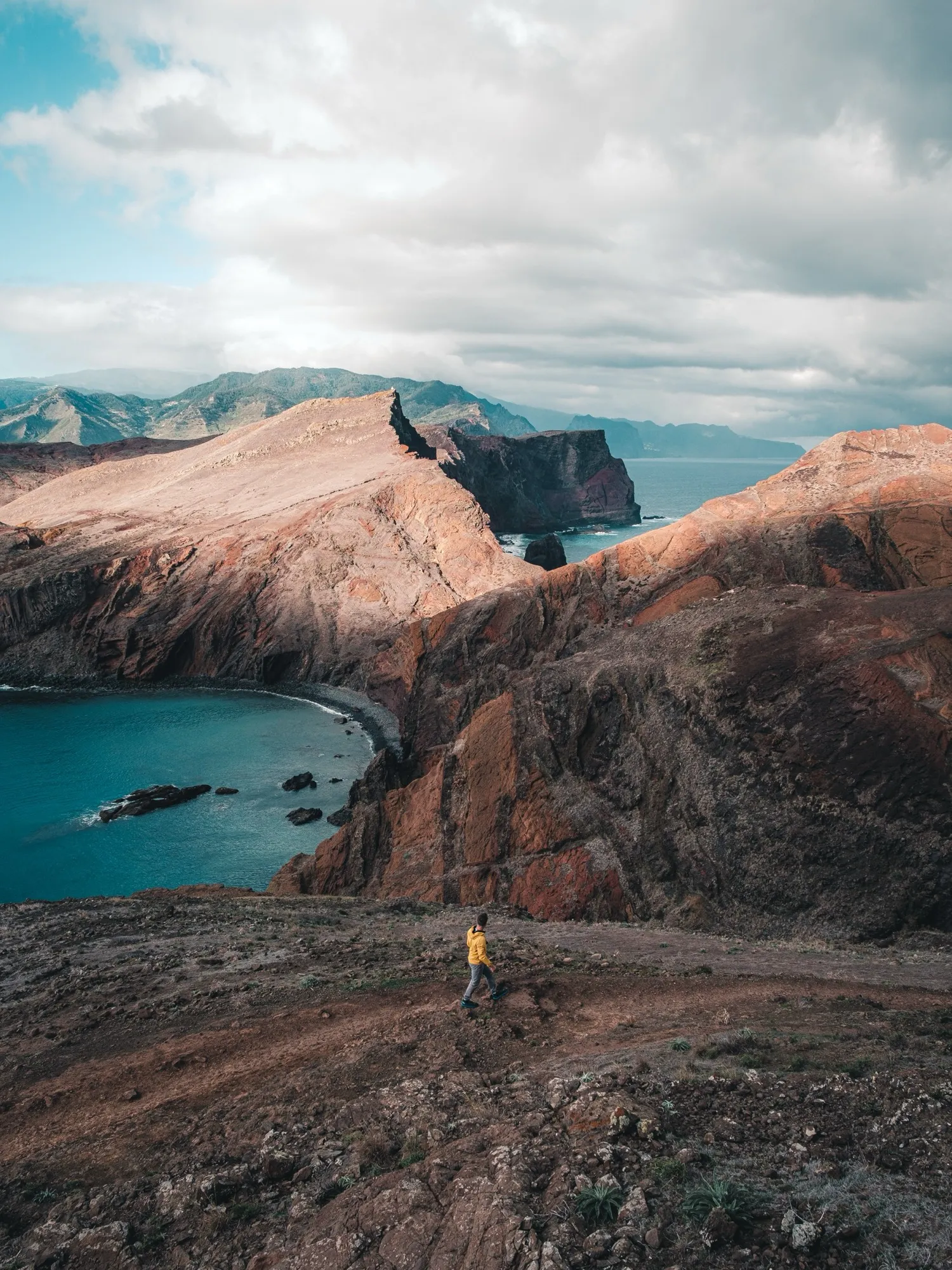
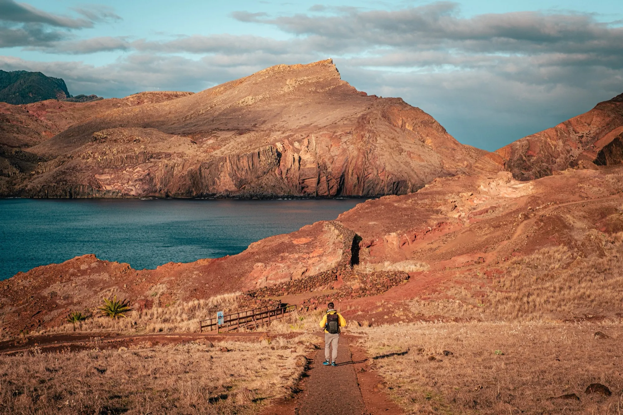
  • A red earth trail between cliffs, in MadeiraMadeira
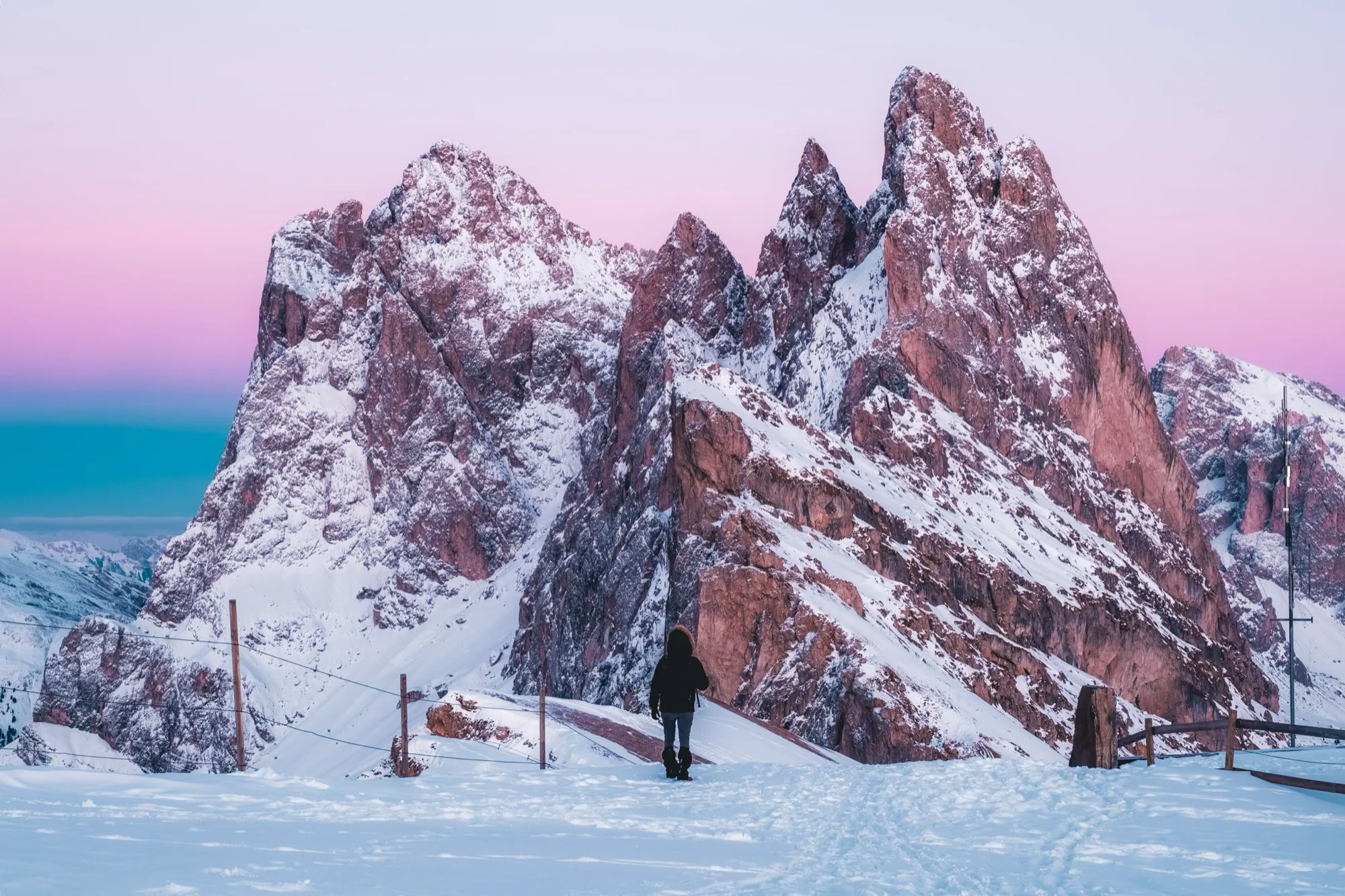
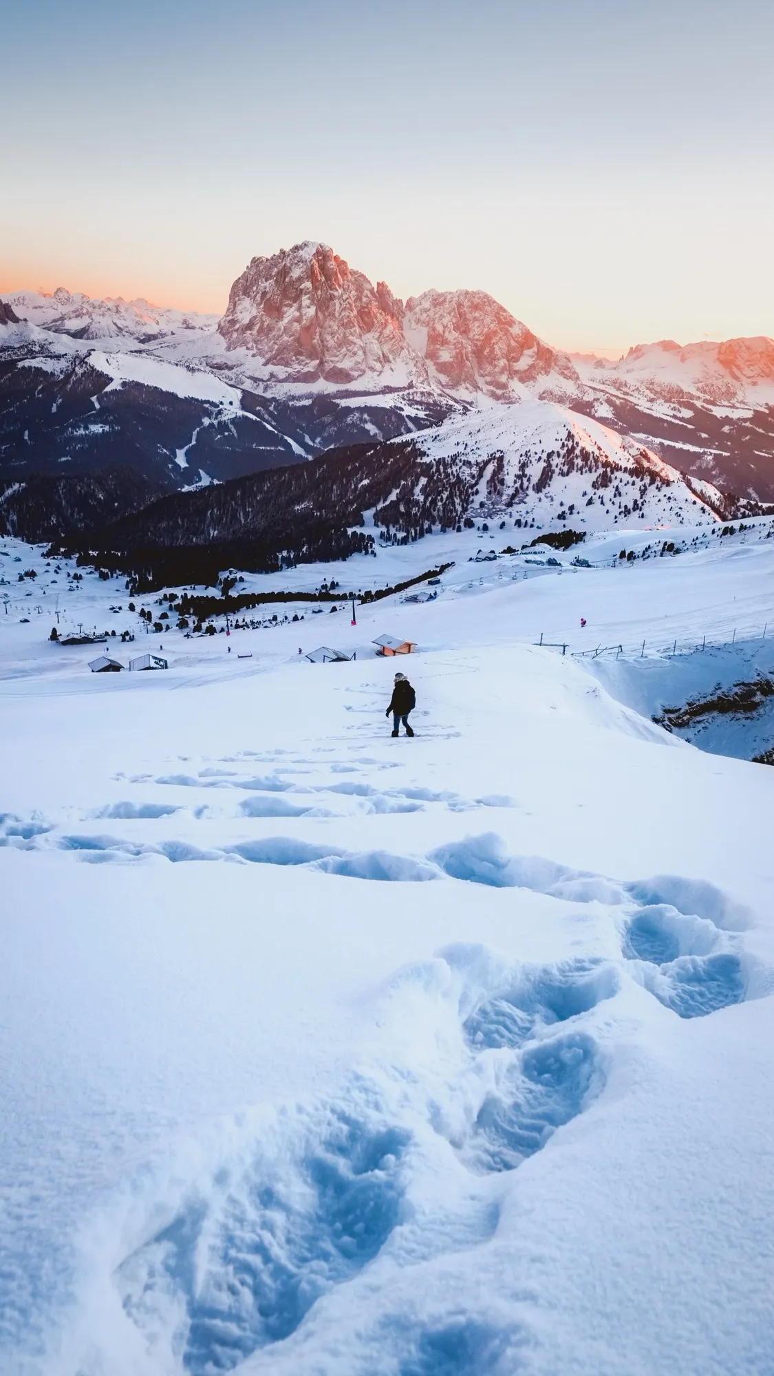
  • Footprints in the snow facing the DolomitesDolomites
  • The red rocks of a wild coast at sunsetBrittany
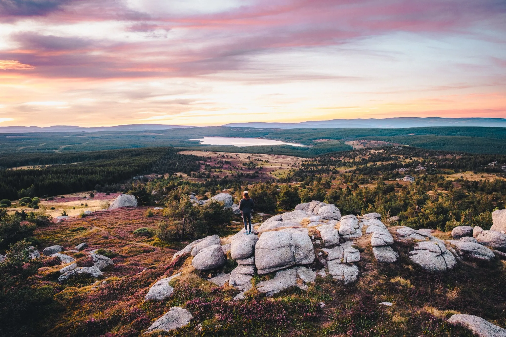
  • A hiker on granite boulders among heather, at sunsetLozère
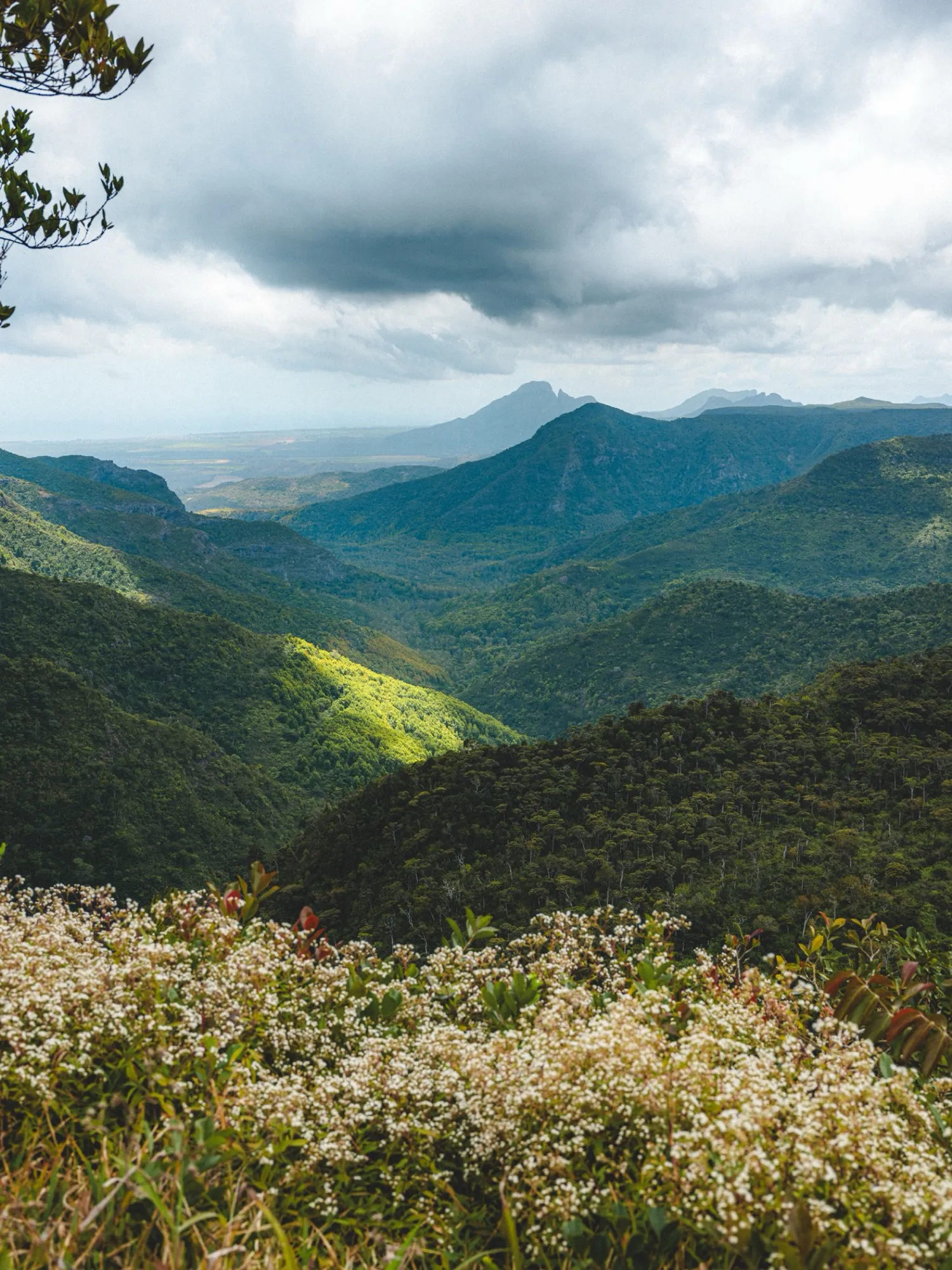
  • A rainforest valley under the clouds, in MauritiusMauritius
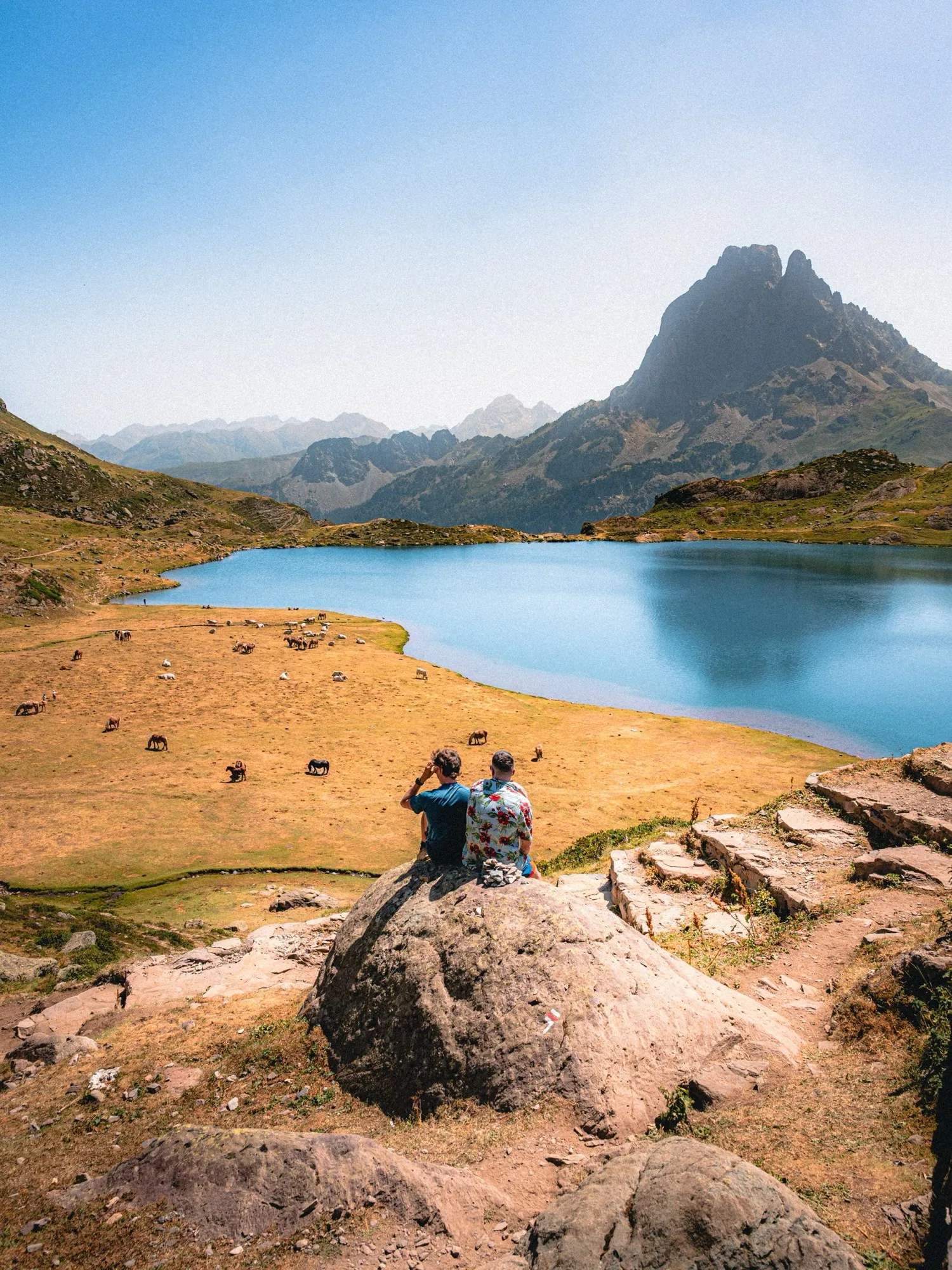
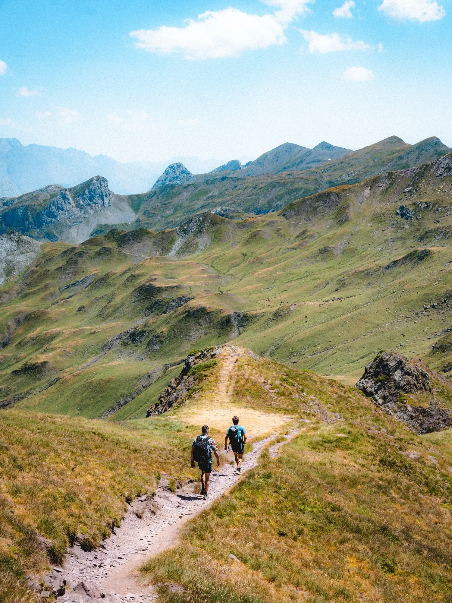
  • Two hikers on a mountain pasture trail in the PyreneesPyrenees
  • A hiker on a trail through ferns, facing the oceanBrittany

More than 700,000 summits,
recognised without signal.

  • Mont Blanc4,806 m
  • Pic du Midi d’Ossau2,884 m
  • Monte Cinto2,706 m
  • Grand Ballon1,424 m
  • Canigou2,784 m
  • Mont Aiguille2,087 m
  • Puy de Dôme1,465 m
  • Vignemale3,298 m
  • Mont Ventoux1,910 m
  • Hohneck1,363 m
  • Matterhorn4,478 m
  • Teide3,715 m
  • Zugspitze2,962 m
  • Mont Aigoual1,567 m

All of Hikez

Everything the hiking app does.

Everything is free, except what carries the Pro badge.

Record

  • Live GPS tracking

    Distance, elevation gain, duration, altitude and speed, even with the screen off.

  • Free hike

    One tap and Hikez records, no route to prepare.

  • Live Activity

    Your numbers on the Lock Screen while you walk.

  • Backup copy

    Your hike in progress is protected until it is saved.

Navigate

  • Follow a GPX route

    Import a GPX from Files or AirDrop and follow it on the map.

  • Off-trail alert

    Hikez warns you as soon as you drift off the route.

  • Offline maps

    IGN maps and aerial photos in France, OpenStreetMap elsewhere, downloaded around your routes.

  • Route library

    + Pro

    Search, tags and sorting. 3 routes free, unlimited with Pro.

Remember

  • Hiking journal

    Photos, notes, sounds, waypoints, rating and feelings for every hike.

  • Add a past hike

    A hike you’ve already done, with its photos, notes and weather.

  • Summit recognition

    + Pro

    700,000 summits offline. Your 3 highest in the log for free, the complete log with Pro.

  • Automatic weather

    Pro

    The day’s weather is added to every hike on its own.

  • 3D flyover video

    Pro

    Relive your hike in 3D over the terrain, and save it as a video.

Track progress

  • Stats

    Distance, elevation gain and hikes over the week, the month or all time.

  • Yearly stats and year in review

    Pro

    Your years compared, and a story of your year in the mountains.

  • Health app

    Every hike becomes a hiking workout in Health.

Share

  • Feed and following

    Post your hikes, follow other hikers, like and comment.

  • Community map

    Routes shared anonymously, ready to add to your library.

  • Monthly leaderboard

    Distance, elevation gain and hikes, counted on hikes recorded live.

  • Private account and moderation

    Sign in with Apple, no email, private account, report and block.

  • Public profile and search

    Find a hiker by username and see their hikes and stats.

Your data

  • iCloud backup

    Free for everyone, on by default, in your private iCloud.

  • Journal export and import

    A complete backup of your journal, to keep wherever you like.

  • GPX export

    Pro

    Your hikes and community routes as GPX files.

  • Advanced filters

    Pro

    Find a hike by rating, tag, region, season or period.

  • Folder backup

    Your whole journal copied to Files after each hike, if you want.

Your journal stays yours.

Free to walk. Pro to go further.

Hikez

€0

Forever. No ads, no account required.

  • Live GPS recording, screen off
  • Follow a GPX route with off-trail alerts
  • Offline maps: IGN in France, OpenStreetMap elsewhere
  • Summit recognition, without signal
  • Journal: photos, notes, sounds, feelings
  • iCloud backup, Health app, Live Activity
  • The whole community: feed, map, leaderboard
  • A library of 3 routes
Download

Hikez Pro

€24.99/year

That’s €2.08 a month, billed once a year. 7-day free trial. Local prices may vary.

€3.99/month

No commitment, cancel anytime. 7-day free trial. Local prices may vary.

All of Hikez, plus:

  • 3D flyover of every hike, as a video
  • Unlimited GPX library
  • Complete summit log
  • Weather added automatically
  • Yearly stats and your year in review
  • GPX export of your hikes and shared routes
  • Advanced journal filters
Try Hikez Pro

Frequently asked questions

What is the best free hiking app?

The one that does the essentials without making you pay to walk, whether it’s a mountain hike or a simple walk. With Hikez, GPS recording, GPX route guidance, offline maps, summit recognition, iCloud backup and the whole community are free, with no ads. The community map also gives you hiking ideas: routes shared by other hikers, ready to start in one tap.

Is Hikez really free?

Yes. The essentials are free forever, with no ads and no time limit: GPS recording, GPX route guidance with off-trail alerts, offline maps, summit recognition, the journal, weekly and monthly stats, iCloud backup and the whole community. Hikez Pro (€24.99 a year or €3.99 a month in the eurozone) adds the 3D flyover, an unlimited GPX library (3 routes free), the complete summit log, automatic weather, yearly stats and GPX export.

How does the monthly leaderboard work?

Every month, Hikez ranks hikers by elevation gain, distance and number of hikes, worldwide or among the people you follow. Only hikes recorded live with the app count, and our servers recalculate the figures from the track to rule out inconsistencies.

Is Hikez made for walking and hiking trails?

Yes, that’s what it’s built for: day walks, waymarked trails, long-distance paths or mountain hikes. GPS records your walk, you can follow a GPX route with off-trail alerts, and maps stay available without signal.

Does Hikez measure elevation gain?

Yes. Elevation gain shows live while you walk, along with your altitude. Every hike gets its elevation profile, your stats add up your gain week after week, and the summits you reach join your log.

How do I find my friends on Hikez?

Create your account with Apple and a username, then search for your friends by username and follow them. Their hikes show up in your feed; if their account is private, they approve your request.

Does Hikez work without signal?

Yes. The iPhone’s GPS doesn’t need a network, maps download ahead of time around your routes, and the summit database is inside the app. Before you leave, just open your route once with a connection.

Is Hikez available on Android?

Not for now: Hikez is an iPhone app, for iOS 18 and later. We’d rather make one very good app on one system.

Do I need an account?

No. Without an account, your journal stays on your iPhone and in your iCloud. An account is only for the community: you create it with Apple, a username and a photo, no email needed.

How much is Hikez Pro?

€24.99 a year or €3.99 a month in the eurozone (local prices vary), with a 7-day free trial for a first subscription. Cancel anytime from your Apple Account settings.

Is my data sold?

Never. Hikez shows no ads and sells nothing. Your journal lives on your iPhone and in your private iCloud; what you post to the community, you choose hike by hike.

Can I import my hikes and routes?

Yes. Import a GPX file to follow it (3 routes free, unlimited with Pro), or add a hike you’ve already done with its photos, notes and weather.

Does Hikez work outside France?

Yes. In France, Hikez uses IGN maps; elsewhere, OpenStreetMap. The app speaks English, French, Spanish and German.
Go. Return. Remember.

Write to usDownload on the App Store